Thursday, June 23, 2011

Comanche Lookout Park

Wednesday, June 22, 2011

Today's photos:


For some reason, I seem to be attracted to waterways. Given the much needed and welcome rain early this morning, I decided to head for higher ground for my walk today. As a matter of fact, it was much higher ground. Comanche Hill in Comanche Lookout Park tops out at an elevation of 1,340 feet, the fourth highest point in Bexar County.

As indicated by the photos, there were numerous rabbits. And Texas Spiny Lizards abound. The chickadee was a pleasant surprise.  But most important of all, the earth drank in the rain and all the creatures, plant and animal alike, celebrated.

Tuesday, June 21, 2011

Birds in Flight; The Challenge of Action Photography

If there is a secret to taking good action photos, it is that one must know the subject well enough to be able to anticipate the next move. The photographer must begin to apply pressure to the shutter release a split second before the peak of the action, so the shutter actually opens at the right time. People who aren't experienced with action photography tend to end up with photos where the subject is just past the peak of the motion.

I know ballet, contemporary dance and most sports well enough that coordinating the shutter release with the peak of the dancers' and athletes' motion has become almost perfectly reflexive for me. Photographing birds in flight, however, is a whole new experience. Different species of birds move differently in flight. I'm beginning to figure it out. Following are a few examples from the Mission Reach photo series taken last Wednesday:


The San Antonio River, Headwaters & Olmos Creek

Monday, June 20, 2011

There is a chance of scattered showers forecast for Wednesday; nothing that will break the drought, but the first real chance of rain in over a month. I mention this because today's photos have to do with the ongoing drought and the reality of the water flow in the San Antonio River. I'll discuss this in somewhat more detail after the photos:

Olmos Creek beginning at the downstream side of Olmos Dam


The Blue Hole Spring


The Origin of the San Antonio River (The Headwater)

This is the official origin of the San Antonio River, the headwater, at the confluence of Olmos Creek and the output stream from the Blue Hole Spring.

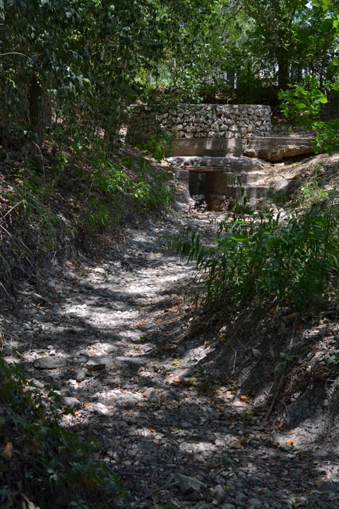
The San Antonio River dry riverbed looking south from the headwater toward Hildebrand Ave.

When I walked the creek in 2009, there was at least a trickle of water and a few small pools. As can be seen in the photos today, the creek is now powder dry on the surface, although judging from the vegetation growing in the creek bed, there is still enough subsurface moisture to support abundant plant life.

The Blue Hole Spring flows when the Edwards Aquifer level is at or higher than about 670 feet. The aquifer is currently about thirty feet below that level and falling lower almost daily.

The spring flow has been intermittent for the past seventy years or so. As a matter of fact, the spring went dry around 1943 and remained dry for thirty years. Heavy rains in the early 1970's brought the spring back to life in 1973. Water conservation and management of the aquifer have improved in the past four decades, so the time when the the spring flows have increased over the years.

In other words, the headwater of the San Antonio River has frequently dried out. The water flow in the river beginning in Brackenridge Park south of Hildebrand Ave has been maintained since the 1940's, originally by water pumped from wells, but increasingly over the past decade, the San Antonio Water System has discharged recycled water into the river at numerous locations to maintain the water flow.