


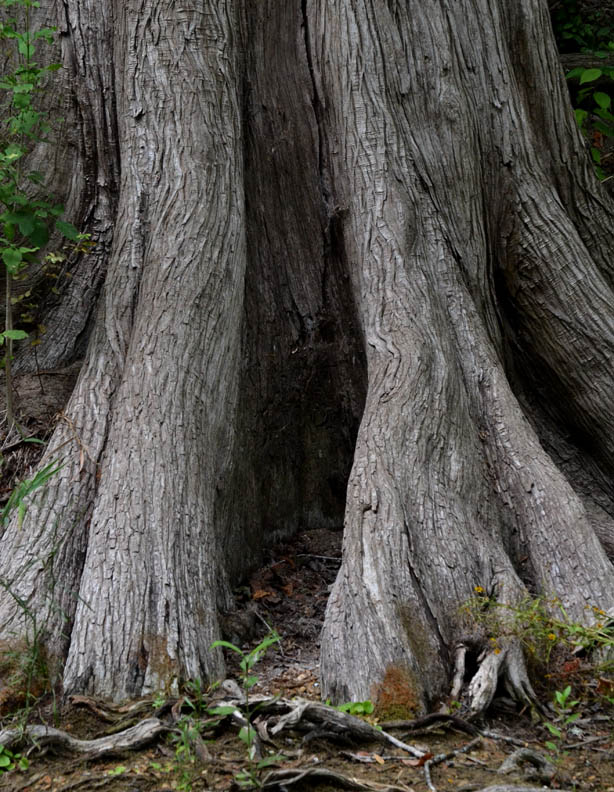


The Medina River Natural Area is on the far southwest side of San Antonio off of Hwy 16 south of Loop 410. My walk was fairly short in terms of distance this morning, maybe three-quarters of a mile tops, but as anyone who has been following this blog may suspect by now, I spent a lot of time along the bank of the Medina River taking photos. I walked along the Rio Medina Trail where it begins just below the pavilion to the first unnamed short path up to the El Chaparral Trail and walked back to the park entrance.
As can be seen in the photos, there is water in abundance flowing in the Medina River. Unlike the San Antonio River, the Medina has not been channelized, so the runs, pools and riffles are in there natural state. Prior to channelization the San Antonio River had a similar appearance to the Medina.
When I returned to the park entrance, I turned the camera off before going in the park office to get some additional information about the trails. As I approached the porch in front of the office, I noticed this "guard" on a rock off to the side at the bottom of the steps and had to turn the camera back on to get a couple more photos:


Once again, I took more photos than I have posted today and will include the additional images in a future post.
No comments:
Post a Comment